News: Expedition uses satellite tech and 3D models to map glacier loss in East Africa, impacting both climate science and spiritual heritage.
Continue reading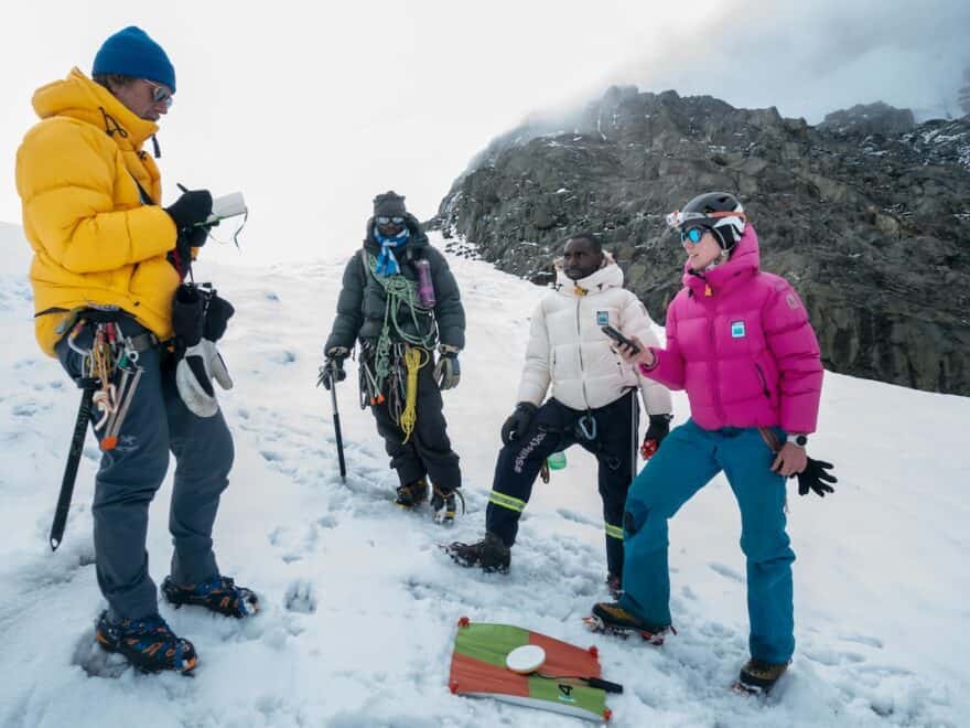
News: Expedition uses satellite tech and 3D models to map glacier loss in East Africa, impacting both climate science and spiritual heritage.
Continue reading