News: World science community works together on 2.0 release for largest biodiversity time-series database on the planet, spanning 150 years.
Continue reading
News: World science community works together on 2.0 release for largest biodiversity time-series database on the planet, spanning 150 years.
Continue reading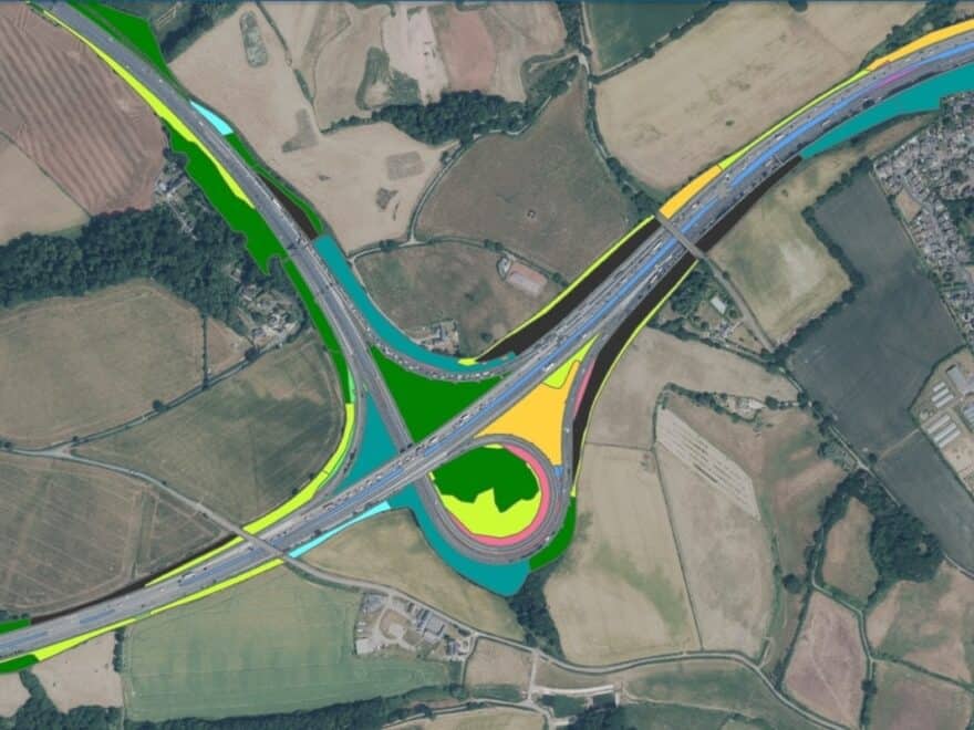
News: Public body to adopt green mapping of highways in England using satellites and AI to track changes in habitats and biodiversity.
Continue readingIn case you hadn’t noticed, I am not American, I am English. However, that is all the more reason for
Continue reading