News: New roofs data, extracted with the help of machine learning, will benefit sustainability and energy sectors, plus map solar and green.
Continue reading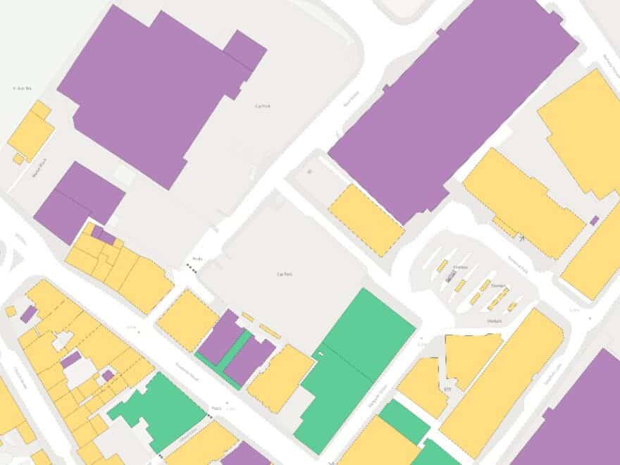
News: New roofs data, extracted with the help of machine learning, will benefit sustainability and energy sectors, plus map solar and green.
Continue reading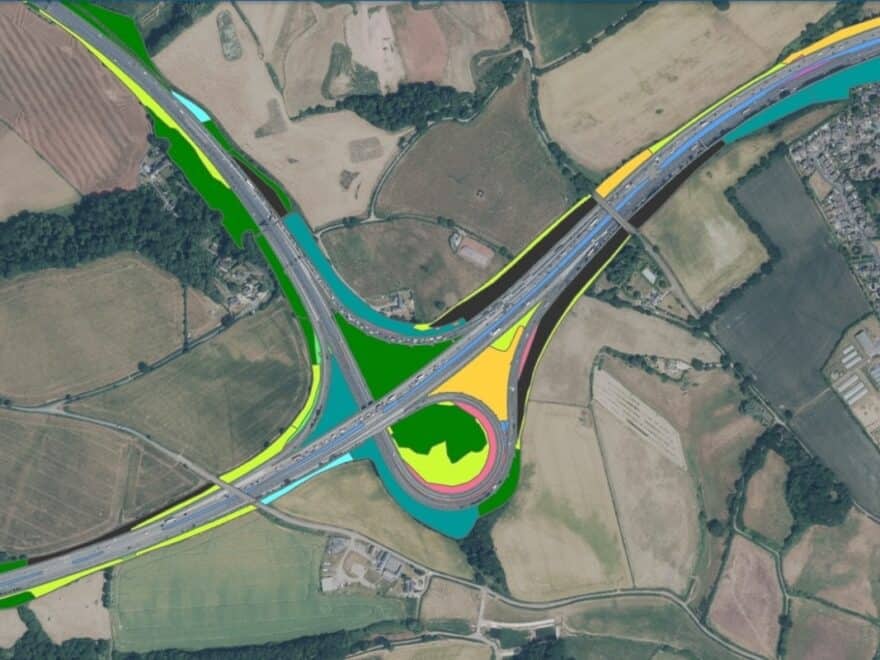
News: Public body to adopt green mapping of highways in England using satellites and AI to track changes in habitats and biodiversity.
Continue reading