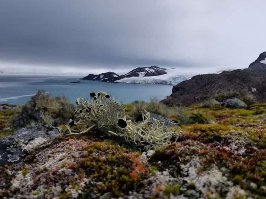
News: First continent-wide mapping study of plant life across Antarctica uses satellite technology to reveal growth in uncharted areas.
Continue reading

News: First continent-wide mapping study of plant life across Antarctica uses satellite technology to reveal growth in uncharted areas.
Continue reading
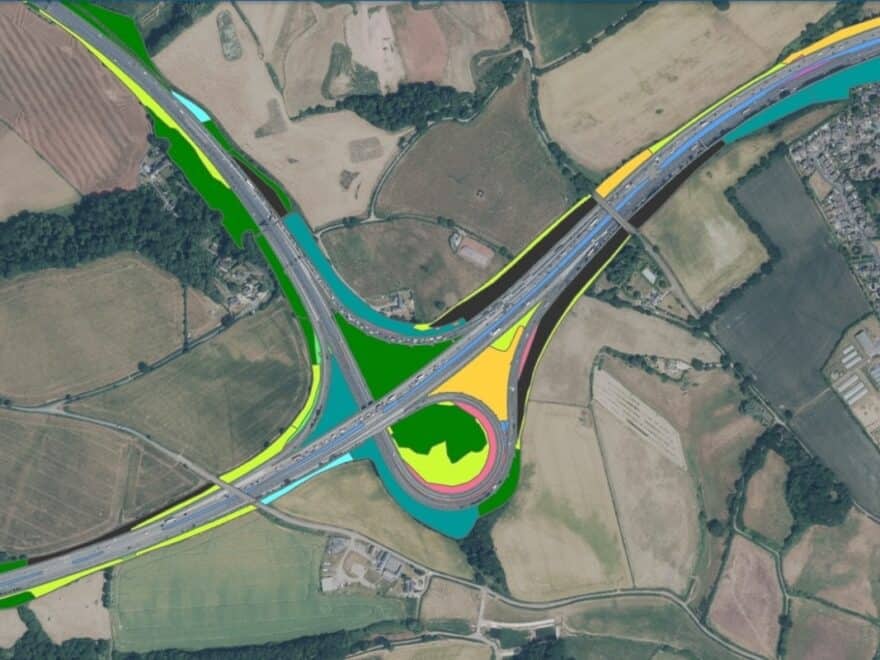
News: Public body to adopt green mapping of highways in England using satellites and AI to track changes in habitats and biodiversity.
Continue reading
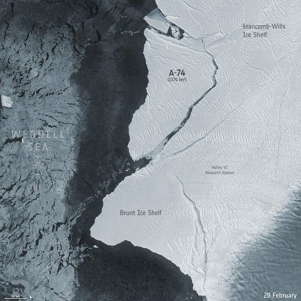
News: Radar images from space show how a giant iceberg, almost the size of Los Angeles, broke away from the Brunt Ice Shelf, in Antarctica.
Continue reading