Brand new roofs data, extracted with the help of machine learning, will benefit sustainability and energy sectors by supporting carbon net zero initiatives and retrofits, plus map solar and green installations.
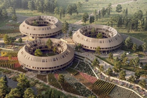
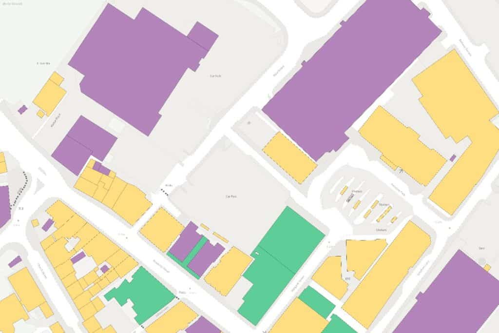
Great Britain’s national mapping service Ordnance Survey (OS) has just released data for more than 40 million roofs into its authoritative geographic store the OS National Geographic Database (OS NGD).
This major upgrade introduces unprecedented insights into roof shape, aspect and material, including green roofs and the presence of solar panels, benefitting those in the sustainability and energy sectors.
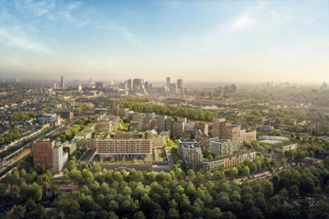
The OS NGD already holds a vast amount of buildings info, including use (commercial, retail, residential), construction material, age, number of floors (47 million in total), address count, and basement presence.
All of these features are available in the OS NGD Buildings theme alongside the new roof enhancement data. They can be cross-referenced with other OS NGD themes such as Address and Land Use to unlock valuable insights that can support projects and businesses across the public and private sector.
Harnessing advancements in digital technology, the new roof data was almost entirely captured using automated feature extraction, utilising machine learning methodologies in some processes.
Other new data in this release covers access points to key public buildings and access purpose for sites. There are also building height enhancements, streetlights, tunnels, three additional land-use descriptions (beaches, wind farms, military training areas), plus more in the OS NGD Geographical Names theme.
Shape, aspect and material
The new OS roof data includes information that is indicative of future installation potential:
- Roof shape: identifying whether a roof is flat or pitched, which supports carbon net zero initiatives, retrofitting and solar panel suitability; plus
- Roof aspect: determining the predominant orientation in eight directions (north, northeast, east, and so forth), also supporting green energy planning.
OS now provides data on the predominant roof materials for 25 million addressable buildings, categorising them as waterproof membrane or concrete, fabric, glass or polycarbonate, green roof, metal, thatch, or tile, stone, or slate (on 92% of buildings). Interestingly, only 0.1% of British buildings have thatched roofs. The area with the highest total number is Sidmouth, East Devon.
This data on roofing materials will also help to:
- Support green energy solutions by mapping solar panel and green roof potential;
- Aid in heat-loss modelling for energy efficiency planning and maintenance.
Green roof identification
A green roof is defined as being at least partially covered with vegetation, usually specifically installed on a waterproof membrane. By introducing dedicated identification of existing installations, this new dataset will be invaluable for sustainability and biodiversity projects, so helping to support:
- Urban biodiversity (via benefits such as shelter for pollinators, air filtration and oxygen generation);
- Energy efficiency (reduced urban heat islands, increased cooling system performance); and
- Enhanced solar panel efficiency.
Mapping rooftop solar panels
For the first time, OS has also identified the presence of solar panels — revealing that 5% (nearly 1.3 million buildings) across Britain already have them, and that they are mostly domestic.
Scotland has the highest proportion of domestic solar panels. The top three districts for installations in Britain are Stirling (15%), South Cambridgeshire (14%), and Peterborough (13%).
Supporting multiple use-cases, this data will be of benefit to market analysis and investment strategies for:
- Property valuation and energy efficiency ratings;
- Green financing and investment;
- Renewables incentives programmes; and
- Carbon footprints for businesses and residential areas.
There is more data to come, too, says John Kimmance, Chief Customer Officer for OS:
“This is the most significant collection of new and existing data for buildings in the OS NGD since it was created in 2022. With the addition of the new roof data, OS can support so many different sectors achieving key insights and deliverables — from insurance and property, to local authorities under pressure to meet biodiversity net gain targets. And we’re not stopping here — more building datasets are in the pipeline for future release.”
Landscape, infrastructure and built environment
The OS National Geographic Database is a geospatial database designed to provide rich, authoritative data on Britain’s landscape, infrastructure, and built environment. It was launched in 2022 and is continually updated with new datasets, including AI-driven data enhancements.
The new location data has been released as part of the Public Sector Geospatial Agreement (PGSA). The PSGA is a contract between Government Digital Service, managed on behalf of UK Government, and OS for provision of geospatial data and services to emergency services and wider public-sector organisations.
Further Reading:
- More about the Ordnance Survey (OS); and OS National Geographic Database (OS NGD);
- More about OS NGD themes: Buildings; Address; Land Use; and Geographical Names;
- Also on SustMeme, Expedition maps tropical glacier loss in Uganda;
- Also on SustMeme, Data at heart of collaboration on climate change;
- Also on SustMeme, Continent-wide study of plant life in Antarctica;
- Also on SustMeme, Solar-thermal innovation for iconic London hotel;
- Also on SustMeme, Satellites and AI to map biodiversity of highways;
- Also on SustMeme, Ultra-early wildfire detection raises pilot-site alarm;
- Also on SustMeme, UK & Irish homes are coolest in Europe;
- Also on SustMeme, Putting wastewater heat recycling on the map;
- Also on SustMeme, Urban Greening: Nature is back in town (in The Times, 2013).
Check out the full archive of stories on the SustMeme Built Environment Channel, now available to Sponsor.